MapmyIndia & Matrix Geo Partner for Geospatial Solutions
x
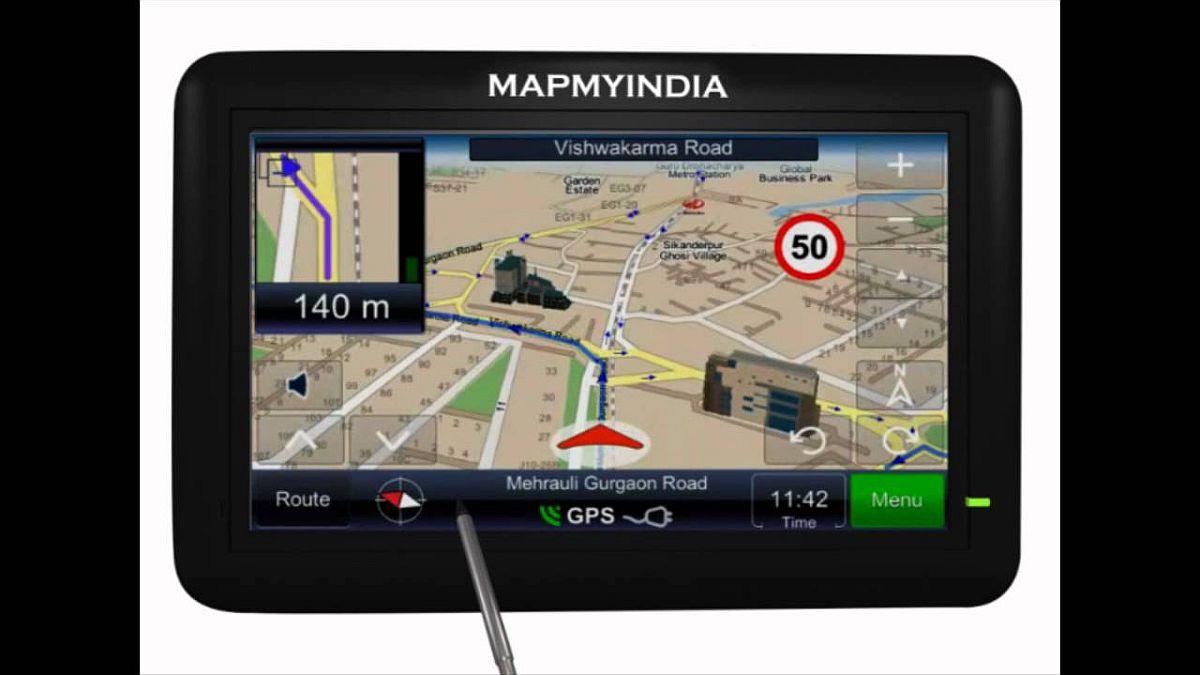
MapmyIndia partners with Matrix Geo Solutions for geospatial solutions in India. Focus on infrastructure, urban planning, and smart governance.
Mumbai, Sep 29 (PTI) Digital map and geospatial technology company MapmyIndia has inked an intitial pact with Matrix Geo Solutions Ltd for providing geospatial solutions for infrastructure, urban planning, and smart governance, the company said on Monday.
The partnership will combine MapmyIndia's advanced mapping technologies with Matrix Geo's drone and LiDAR expertise to deliver real-time mapping, digital twins, and sustainable development solutions across India, it said.
Matrix Geo is a drone-based LiDAR mapping and digital engineering firm. Our collaboration with Matrix Geo Solutions strengthens our mission to make India smarter and more connected through digital maps, AI, and geospatial innovations, MapmyIndia said.
Rahul Jain, MD of Matrix Geo Solutions, said: This partnership will unlock new opportunities in integrating real-time mapping and drone-based data intelligence, empowering decision-makers with accurate, actionable insights for future-ready infrastructure.
You May Like To Read


TODAY'S MOST TRADED COMPANIES
- Company Name
- Price
- Volume
- Vodafone-Idea-L
- 10.80 (+ 1.12)
- 64479733
- Pradhin
- 0.27 (+ 17.39)
- 41923542
- Sattva-Sukun-Lifecar
- 0.56 (+ 5.66)
- 34488002
- Alstone-Textiles
- 0.30 ( 0.00)
- 34091490
- Sunshine-Capital
- 0.25 ( -3.85)
- 30901660