NHAI and NRSC sign an agreement to develop a 'Green Cover Index' for National Highways in India using high-resolution satellite imagery, facilitating targeted interventions for better green cover.
New Delhi, Jan 3 (PTI) The National Highways Authority of India (NHAI) has signed an agreement with the National Remote Sensing Centre (NRSC) to develop a "Green Cover Index" for the extensive network of National Highways in India, an official statement said on Wednesday.
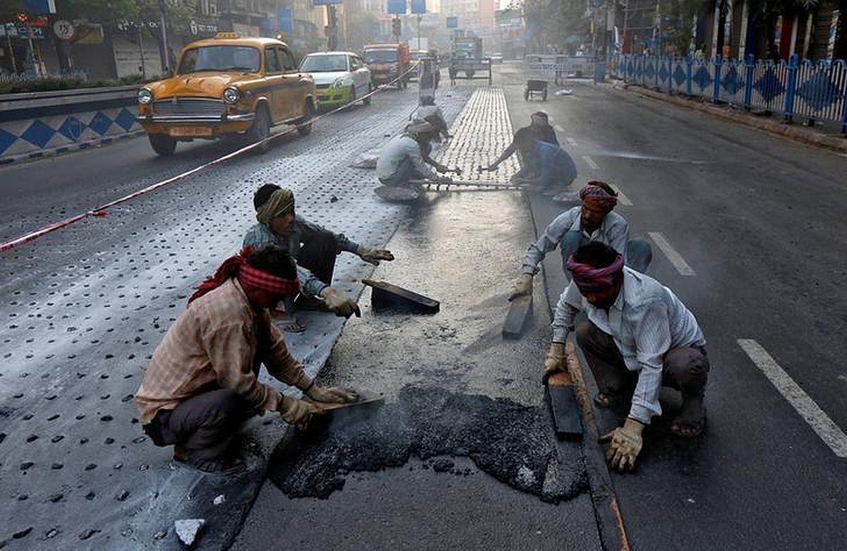
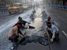
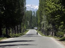
According to the statement, since the initiation of the Green Highways Policy in 2015, the prioritization of greening Highway Corridors has been a focal point for the Ministry of Road Transport and Highways (MoRTH) and NHAI and presently, the monitoring of plantations relies on site visits by field personnel.
"Using the capabilities of emerging technologies to enhance in-situ data collection and supplement plantation management and monitoring, including performance audits conducted by NHAI, the NRSC will undertake a comprehensive pan-India estimation of green cover, referred to as the "Green Cover Index" for National Highways using high-resolution satellite imagery," the statement said.
It will also facilitate targeted interventions in regions that are reported to lack adequate green cover, the statement added.
NRSC, headquartered in Hyderabad, has the mandate for establishment of ground stations for receiving satellite data, generation of data products, and development of techniques for remote sensing applications including geospatial services for good governance among other things.
As a proof of concept, NRSC has already conducted successful pilot projects for estimation of green cover along National Highways.
The statement noted that overarching endeavour of the project is to capture the Green Cover Index region-wise for National Highways in the first assessment cycle
Subsequent annual cycles will focus on estimating the growth patterns of green cover for National Highways using scientific techniques, it said.
The statement said findings of the index will facilitate the comparison and ranking of various National Highways for timely and periodic intervention.
As green cover would be estimated for every 1 km length of the National Highways, it would be possible to generate granular metrics for individual projects/packages as well, it added.
DISCLAIMER - This article is from a syndicated feed. The original source is responsible for accuracy, views & content ownership. Views expressed may not reflect those of rediff.com India Limited.


 © 2024 Rediff.com India Limited. All rights reserved. Disclaimer - Terms of Service - Privacy Policy - Feedback