Haryana's Land Record Modernisation Praised by Centre
x
Centre praises Haryana's progressive land record modernisation initiatives, including the Tatima Updation Project & HaLSMP, receiving project-specific funding. Digital India Land Records Modernization Programme (DILRMP) progress reviewed.
Chandigarh, Jun 18 (PTI) The Centre on Wednesday praised Haryana's initiatives in land record modernisation and indicated that the state could receive project-specific funding to further these efforts.
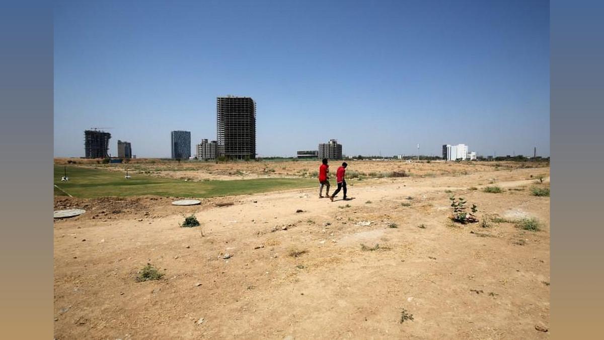
This support is expected to significantly strengthen initiatives such as the Tatima Updation Project, undertaken by Haryana Space Applications Centre (HARSAC), which focuses on the detailed sketching and mapping of land parcels which is a crucial step toward achieving transparent and accurate land records, an official release said.
Union Secretary, Department of Land Resources, Manoj Joshi, was in Chandigarh to review the progress of key programmes, including the Digital India Land Records Modernization Programme (DILRMP), NAKSHA, the Inspector General of Registration (IGR) system, and the Capital Incentive Schemes, the release said.
In the meeting, Haryana's Financial Commissioner Revenue and Disaster Management, Sumita Misra, highlighted that the state is making remarkable strides in transforming land governance.
Through ambitious initiatives like the Haryana Large Scale Mapping Project (HaLSMP) and the Modern Revenue Record Rooms (MRRR) project, the state aims to safeguard essential land data from both natural and man-made disruptions. These reforms are expected to bring clarity, transparency, and efficiency to rural and urban land management systems, she said.
Till date, the Survey of India (SoI) has successfully completed drone surveys across an expansive 38,406.36 sq. km. Additionally, Drone Imaging and Information Service of Haryana Limited (DRIISHYA) was assigned to survey 5,805.69 sq. km in restricted zones, completing 4,936.67 sq. km and handing over the data to SoI for processing..
Parallel to HaLSMP, the government launched theRR project on December 25, 2019, with the goal of preserving centuries-old revenue records across all 22 Haryana districts. Records such as "Jamabandis, Mutations, Parat Sarkar, Field Books, Mussavis", and Revenue Court Orders are being digitized, indexed, and securely stored.
As of now, approximately 39.80 crore pages have been scanned, with 39.57 crore pages uploaded to a central database accessible via the Web HALRIS portal. This monumental effort ensures that historical data is safeguarded against loss and made easily retrievable by the public, Misra stated.
Each district now boasts a state-of-the-art record room with modern infrastructure, including climate-controlled storage, advanced scanning equipment, and a public-facing front desk for grievance redressal and document requests. The project has undergone 3 level verification, she added.
You May Like To Read


TODAY'S MOST TRADED COMPANIES
- Company Name
- Price
- Volume
- Vodafone-Idea
- 11.36 ( -2.49)
- 94664837
- AvanceTechnologies
- 1.16 (+ 4.50)
- 34522155
- Sunshine-Capital
- 0.26 ( -3.70)
- 29015901
- Alstone-Textiles
- 0.27 ( -3.57)
- 28695959
- Mehai-Technology
- 1.65 ( -4.62)
- 28262795